
Driving south from I-15 into the AZ Strip

Stream crossing Black Rock Gulch

Exiting Tombstone Canyon

Just south of Little Hurricane Rim headed toward Poverty Mountain.

Probably won't be many people at the end of this road.

Entering Grand Canyon-Parashant National Monument.

I had read about these three men leaving the Powell Expedition but was surprised to find this marker. More about the Howland brothers and Bill Dunn.
The next time I need to take a hike to the summit of Mount Dellenbaugh and look at Dunn's chiseled inscription.

Jan examines a huge chain found near Salt House Draw and we both pondered, what it was for and how it got there?
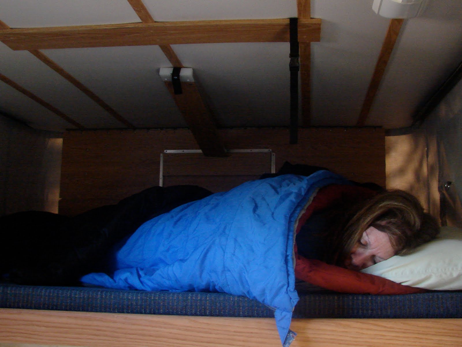
No alarm clocks on the Shivwits Plateau.

A good hot cup of tea should rouse the "Sleeping Beauty."

Upper Salt House Draw camp.
The temperate dropped to 27 degrees but our FWC kept us comfortable.

A rafter of wild turkeys crossed the road ahead of us.

First glimpse of the GC on the way to Twin Point.

Lots of cacti in these parts.
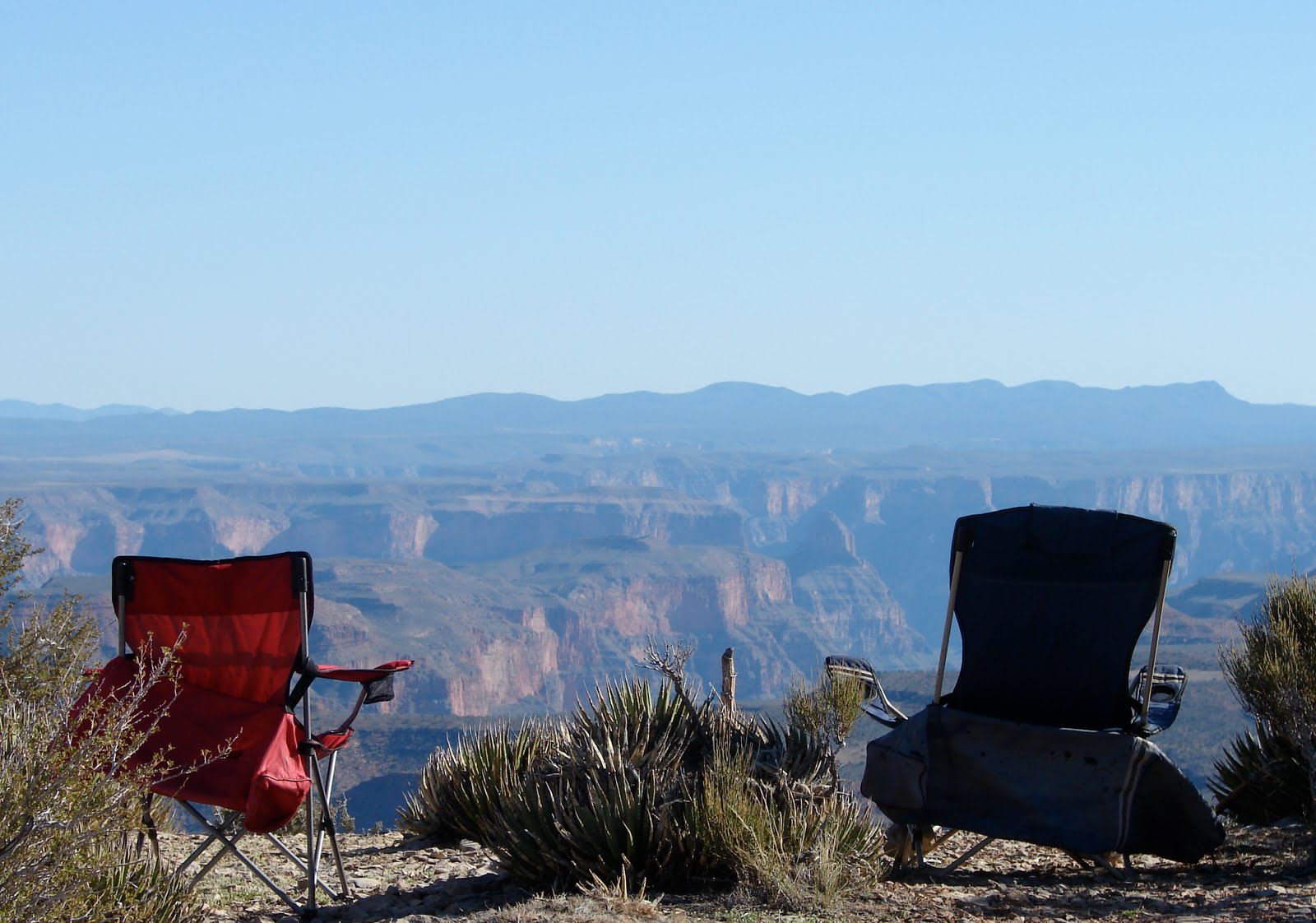
The view from our lunch spot.

Sunset on the North Rim at Twin Point

View to the west.

View to the east.

Leaving GCNP and back into the GC-PNM.

What has been happening out there on the strip that would make posting these notices necessary?

The road winds NW towards Main Street Valley and Diamond Butte.

We crossed more than 20 cattle guards with the above warning signs and wondered what lawsuit made it a requirement to post a warning for bicycles at every crossing.

Ranch house near Diamond Butte.

We obeyed the signs and did not enter but

we did take some photos.

Motoring north on the Main Street Valley road.

Entering Dutchman's Draw.

Never saw a single person riding a bicycle in four days of travel in the Strip. Sure am glad the government spent all that money on these warning signs.

Looking behind us as we drive east on the Navajo Trail crossing Lower Hurricane Valley.

Climbing over the Hurricane Cliffs.

Jan photographed this maternal scene.

We drive out Clayhole Wash with the Pine Valley Mountains in background.

Jan inspects a weathered sign and wonders how many miles until a shower.

No 4WD needed on this road but wouldn't want to be driving it after a heavy rain.

Crossing Short Creek on the Honeymoon Trail

Hurricane Cliffs in the background.

There is a funny story to this photo but it is a long one.

Hurricane is only about 15 miles away.


