We departed home very late and arrived at our destination at 2 A.M.
Dawn in the Alabama Hills.
Jan performs her morning wash in the comfort of the camper. I prefer a more open approach.
Looking east at the Inyo Range from the Corridors. We have hiked the the summits of several Inyo peaks.
Inside a Corridor.
After breakfast we met John, from Santa Clarita and Tony, from Lancaster, who were camping around the corner in the Cattle Pocket. Later that evening I stopped by their camp and we talked history and ate bratwurst and beans. Thanks for dinner guys.
It was the week before the Lone Pine Film Festival and markers with story cards had been placed at various locations around Movie Flat. I spent the morning hiking around the area reading the markers and feeling the history.
The markers are placed in the same location as the camera when the movie was being filmed.
Audie Murphy Rock was about 300 yards from our camp.
This marker was the first of about 25 that I visited on my hike. Curiously the location for the
bridge/elephant scene from Gunga Din (1939) was not marked.
While hiking around Movie Flat I glanced up at Mount Williamson (14,389 feet) and wondered how two of my friends were doing on their summit attempt of this magnificent peak.
Returning to camp I found Jan reading in the shade below Trevor's Crack. The temperature was 20 degrees cooler in the shade.
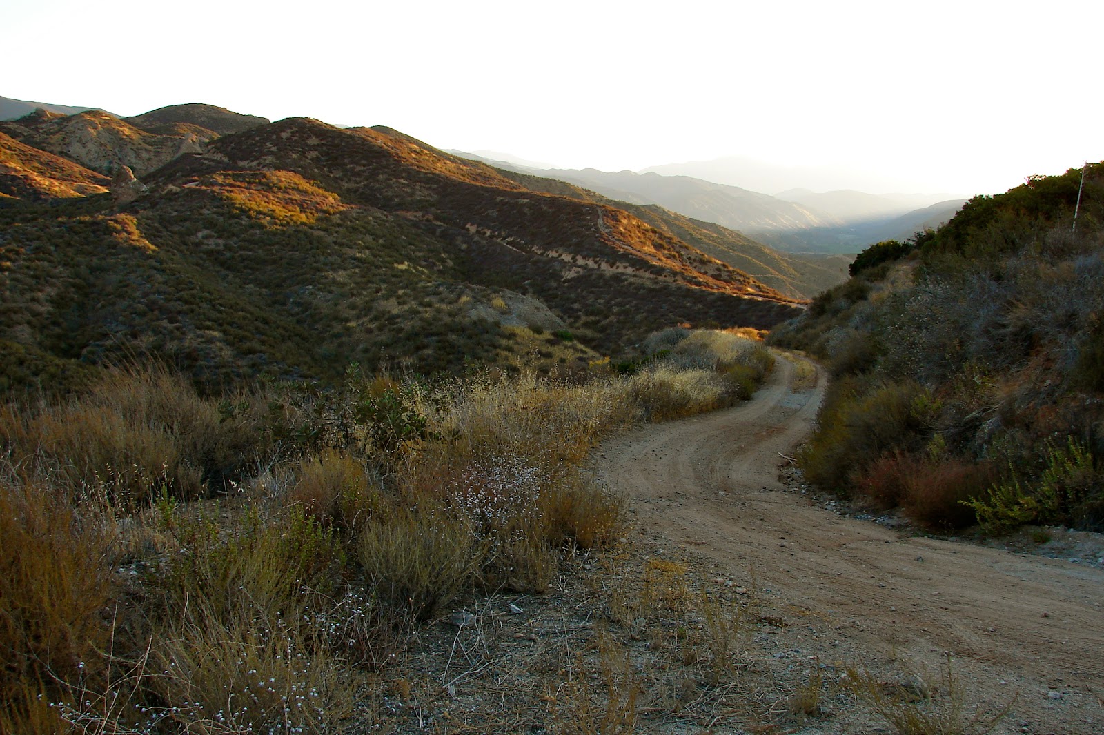
Exiting the Cattle Pocket and headed into town.
In Lone Pine we planned to visit a friend but soon discovered that he had moved.
Driving north on the 395 we stopped at the
Manzanar National Historic Site.
We drove to the Sheppard Pass trailhead west of Independence to check if our friends had returned from their Mount Williamson climb.