The White Mountain Road from the Silver Peak repeater site. Sixteen miles to the north White Mountain Peak is framed on the west by Piute Mountain and on the east by Sheep Mountain. Have visited the summits of all three.
My route was east down Wyman Canyon and then north to Dead Horse Meadow.
The sign reads "Four Wheel Drive Recommended." I did not need 4WD in previous years but was soon to discover that this time would be different.
At the beginning of the drop into the canyon a notice had been placed by the forest service warning that the road was washed out seven miles ahead. Hopefully the washout was before my turn north toward Dead Horse Meadows.
The drive down the road to the first cabin was rutted from a recent storm. Road conditions worsened after the cabin.
At times the creek had left its bed and followed the road. There were several sections where I needed to scout ahead and find the best route because the road had ruts three feet deep.
(A few smaller ruts behind the truck in the photo. I did not know it at the time but a deep one was just ahead of this photo location.) The farther I went the more I wondered what the washout was going to be like.
After about a mile before Robert's Ranch the road mellowed.
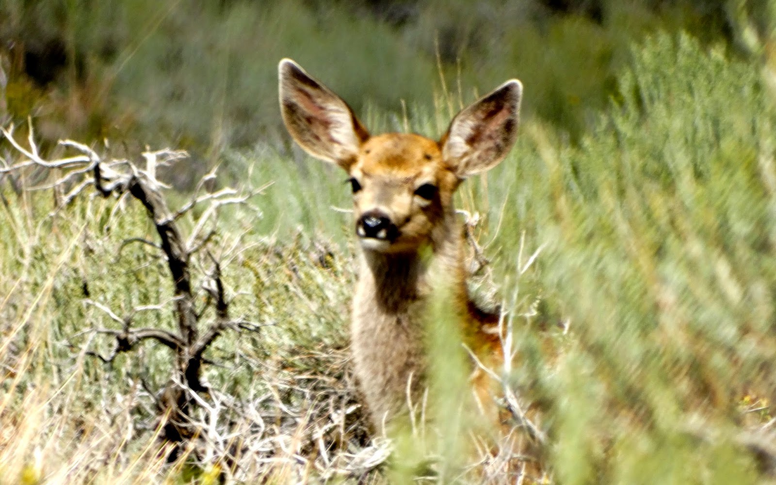
A doe browsing near the road.
Her fawn poked its head up for a look a moment later.
Main cabin of Robert's Ranch.
Across the road was a smaller cabin.
It is used by Deep Springs College.
After a short visit at Robert's Ranch I continued down the canyon. So far no impassable washout but the road renewed its rough texture after this photo.
The route to Dead Horse Meadow showed evidence of a recent deluge. This
was the first of three rocky scrambles encountered as I drove north up
the canyon, each being more difficult than the last.
The third looked tough and doable, but dark clouds to the west and south accompanied by thunder made me pause and rethink my situation. I did not want to be in a narrow canyon if there was another cloud burst up country. A light rain began that tipped the scales and with much disappointment I retreated back to Wyman.
It was still sprinkling rain as I entered the Royal Gorge of Wyman Canyon. There was a rocky step at the beginning of Royal Gorge that might create a bit of a challenge if traveling up stream.
The road through the gorge showed evidence of debris flow. I would discover later after talking to the foreman of a powerline crew
that the washout mentioned in the notice at the top of the canyon was before the junction with Dead Horse Road. Road conditions had been so bad that I hadn't noticed.
The route out of Royal Gorge.
After exiting Royal Gorge I spent about 15 minutes talking with the foreman of a powerline crew who had been scouting the condition of the road. He said that the washout notice at the top of the canyon was from a storm two years ago.
By 7 PM the skies had cleared.
My Wyman Canyon camp, safely above the creek.
The remainder of the evening was spent preparing dinner, reading and watching the light patterns change in the canyon below.
The next morning I followed the Wyman Road east toward Deep Springs Valley.
I took a short hike to the top of Sentinal Peak
(it was spelled like that on the map). Photo of my truck, center-left, from the summit.
Wyman Creek was very tame approaching White Mountain City.
Ruins of
White Mountain City.
The Hiskey and Walker smelter stack.
Nearby was the intake for the Deep Springs College irrigation system.
Wyman Creek water headed south for Deep Springs College. I would head north toward Dyer, Nevada.


No comments:
Post a Comment