After meeting in Baker, Jo Ann and I drove north for 20 miles and then turned east across Silurian Dry Lake.
We were headed into the Silurian Hills to hike to a 400 foot cliff/waterfall that I had discovered on GoogleEarth after studying the contour lines on a topographical map.
Our route took us by a cabin we found on a previous trip in November.
About 15 minutes after the cabin we parked our vehicles at the mouth of a canyon and started hiking.
On the way we drove past my rocky friend from a past trip.
First of several dry waterfalls we scrambled up.
A small tank above the falls contained some water.
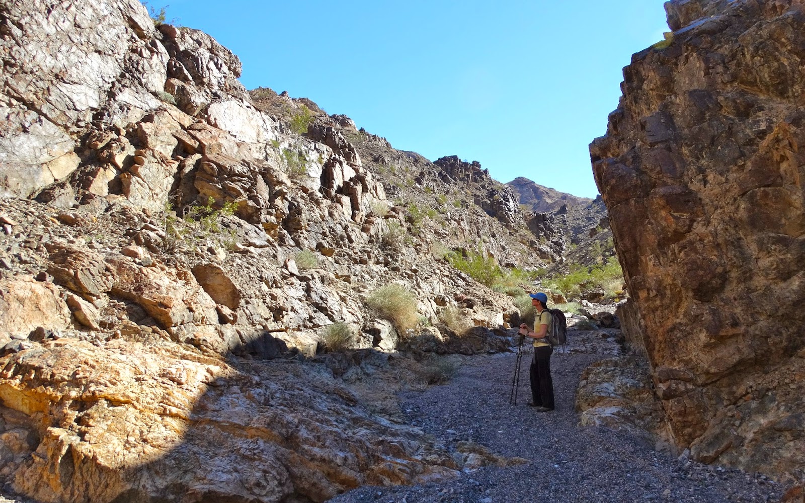
Jo Ann above the first falls.
Soon we reached a second falls.
And then the third and last.
The canyon opened up and ahead we could see the escarpment.
When we got a little closer the pour-over marks became more evident. Must be quite a sight during a rain storm.
On our return we decided to hike down a ridge and drop into the canyon at a lower point.
A connecting corridor.
Vertical layers in the canyon.
Soon we were back in our vehicles and driving out of the wash.
We stopped and ate lunch next to this cabin. Our friend Brian was supposed to be in the Avawatz/Silurian area so we gave him several calls on 2-meters during the day but were not able to make contact.
Leaving the Silurian Hills.
Avawatz Mountains in the distance with Silurian Dry Lake ahead of our route.
After crossing the playa we turned right and drove north on CA 127 headed for Shoshone and Death Valley NP.


Brian was having radio issues and is sorry he missed you. Maybe next time.
ReplyDeleteGreat - driving illegally through wilderness, where others have become stranded and died.
ReplyDeleteBut rules are for other people. Not you. You're special.