We drove East on the Garlock/Randsburg Road.
Turned North and followed a dirt road into the El Paso Moutains headed for a canyon that I had planned to hike 20 years ago.
The road reached a broad plateau with a view of Black Mountain to the North.
Turning Northeast I passed a cairn made by a friend 18 years ago.
Soon the ruins of Colorado Camp came into view.
The cabin at this camp had a great view of the El Paso Mountains.
Inscription at the base of the fireplace.
We continued on toward our destination.
Stopped at a road, now closed, that led to an old mine shaft and a campsite. Twenty years ago I rappelled into this mine but found it flooded with water about 50 feet down the main shaft.
The sun was nearing the horizon as we drove on.
The first obstacle that required the use of four-wheel drive.
The road was as rocky as I remembered.
Twilight was approaching as we followed the road toward our campsite.
We set up camp at 3,800 feet.
After dinner Bosco and I hiked into the hills to investigate some caves in a sandstone outcrop about 500 yards from camp.
Our camp below and the town of Red Mountain far in the distance on the western slopes of the actual Red Mountain.
A cold starry night in the El Paso Mountains.
Sunrise on a frosty early morning.
While taking this photograph I thought that the air temperature was a bit nippy and guessed it to be below 32 degrees. But after the water in Bosco's bowl froze over in less than 10 minutes I decided to check the thermometer and was surprised to see that it read 17º.
After my morning tea it was time to hike up the canyon. Was surprised to find water/ice after just a few hundred yards of hiking.
The next surprise was finding multiple core sample holes in the sandstone walls of the canyon.
Closer look at one of the holes. Probably artifacts from the era of prospecting near Black Mountain before wilderness designation.
We continued up the narrowing sandstone canyon.
Hoodoos above our route.
There were at least 71 core holes in the canyon.
Spotted a cave above.
A look inside revealed some sort of den.
Another hoodoo.
Okay, it seems like there were at least 109 core holes.
A large buttress guarded this section of the canyon floor.
I was only a few seconds late in taking an epic photo of Bosco posed in profile on the edge of the formation. It was irritating how easily he could scamper up and over obstacles. Occasionally he would turn and look at me as if to say, "what is taking you so long?"
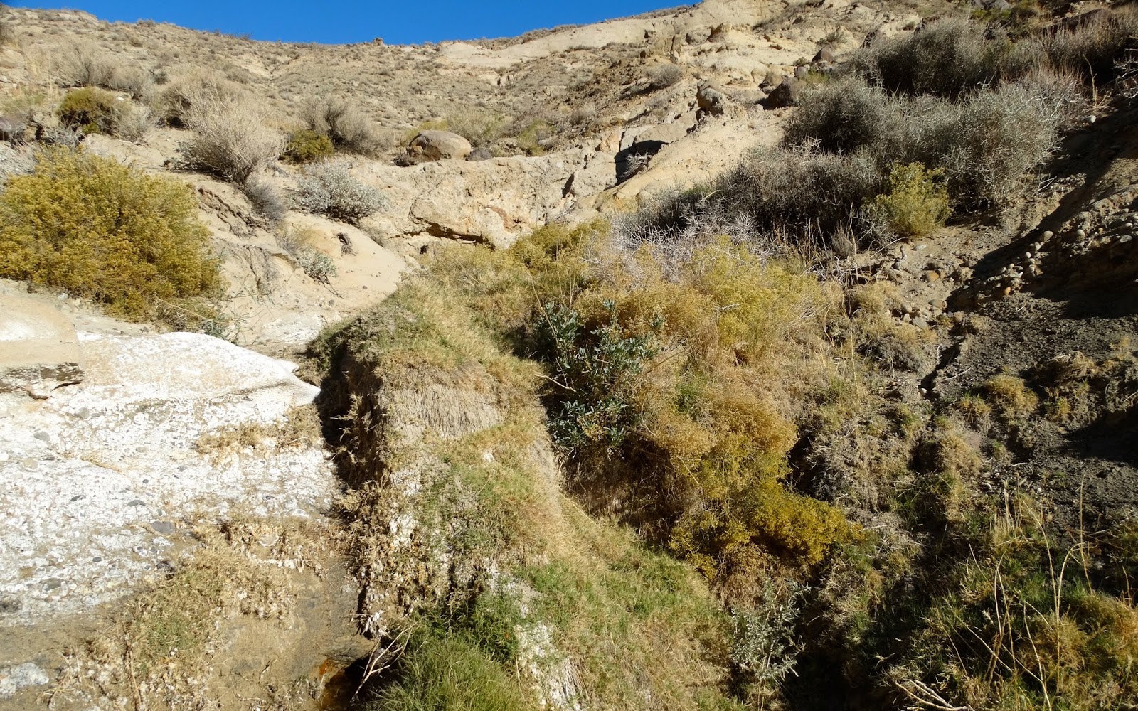
Another seep in the canyon.
End of the right fork of the canyon. I scrambled past the location of this photo farther up the canyon until gravity sent me a message that my skills and physical abilities were no longer good enough for the task.
We returned to the the junction and started up the other branch of the canyon.
High on the sandstone formation was a block about 6 feet wide and 20 feet high.
Looking down the canyon at our route back to the truck.
On our return hike I noticed a formation not spotted on the hike up the canyon. Thought it looked a little Egyptian, maybe a stylized Nefertiti.
Our camper above the canyon and inside the refrigerator lunch was waiting.
After lunch we explored a side canyon but soon it was time to break camp and drive out of the mountains.
We turned south down a sandy Goler Gulch.
And then up a narrow shelf road.
Crossed a small plateau and then dropped into another canyon.
Then engaged the rear locker to climb up a rocky road.
That seemed to have one rocky section
after another rocky section.
Until we reached Mormon Flat.
Off to the West could be seen the remains of Holland Camp. Only the skeletal remains of one building stands today but 25 years ago there were three houses with furniture, dishes and clothing that seemed to be awaiting the owner's return.
We drove South across Mormon Flat and then down Iron Canyon.
Where we gained the pavement of the Garlock Road and made the turn for home.