After exiting Jackass Canyon we turned right and drove down Marble Canyon.
It was only a short drive to the Easy Pickings Mine cabin.
Interior.
A couple of entries from the cabin's log book. I visited
panamintcity.com when we returned home and was very impressed with the hikes that Steve Hall has made in Death Valley.
The last entry in the book. Probably the people who made the foot prints that we found later in the canyon.
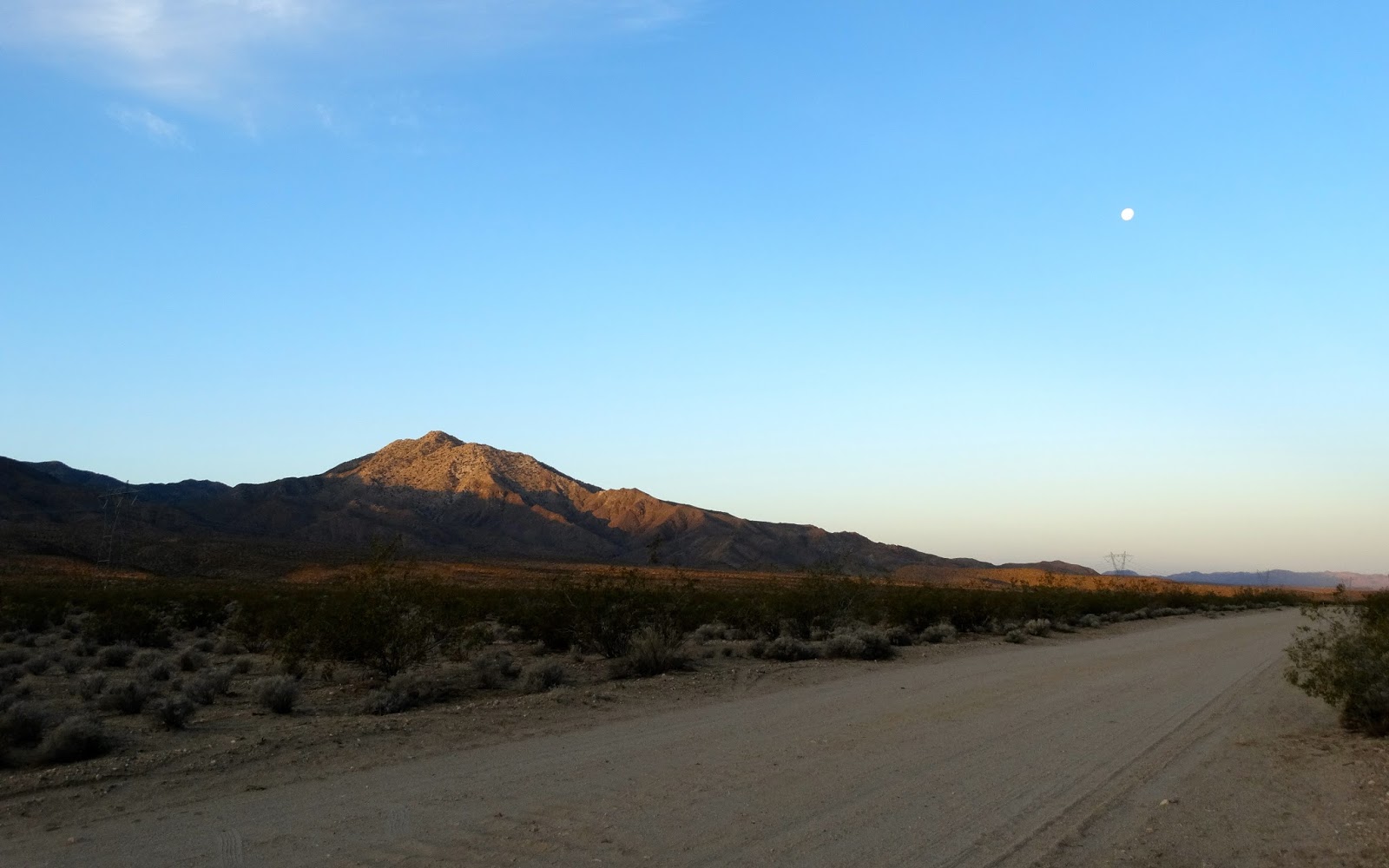
We drove a short distance past the cabin and set up camp.
Later in the afternoon Jan, Bosco and I hiked down the canyon. When we reached this formation Jan turned back for camp but Bosco and I continued on.
Soon we started to encounter artifacts from the era of placer mining.
Some of the artifacts were quite old.
Just about every time we jumped up out of the gravel stream bed there was evidence of mining.
I rested my phone on top of a claim marker to get a GPS fix and was struck by the incredible advance in navigation that happened in the time between this marker being made and my visit.
Farther down the canyon we found the remains of a shack, fireplace and foundations for tent cabins.
Across the wash was the rusting carcass of an car. Always seems odd to find automobiles, mines and man made structures inside of "wilderness."
About 200 yards past the car we found the first footprints on the canyon floor. Lower print is my size 14 boot track.
Collapsed placer shaft.
Debris near the shaft.
A very old tire.
More debris at the camp.
A 1/4 of a mile later I smelled blooming flowers. The area of the bloom only lasted a few hundred yards.
Soon we reached the mouth of the lower narrows.
Bosco and I were racing against sunset to reach the Twin Canyon junction before the light failed.
We moved quickly down the canyon.
Found a claim marker on the side of the canyon.
Twin Canyon Junction ahead.
Rusty remains at the junction.
There was a short slot at the mouth of the canyon on the right.
A look down canyon but our hike would turn around here.
One last look back at the Twin Canyon Junction.
The light was fading fast and 30 minutes after this photo it was time for a headlamp.
Two hours later and the lights of the camper appeared in the darkness.
A cloudy dawn in Marble Canyon.
Bosco relaxing on his bed resting his sore paws. We had hiked more than 11 miles in the last 26 hours and Bosco, with all of his running around, probably logged 15. I should have put his boots on for four or five miles.
On our drive back to the Saline Road we stopped to visit several of the old camps.
Around noon we reached the broad graded surface of the Saline Road and drove on to our next destination.