Driving on I-15 about 40 miles east of Las Vegas we passed by the Ivanpah Solar Power Facility.
"It uses thousands of mirrors (heliostats) to reflect sunlight onto a
boiler filled with water that sits atop a tower. When the sunlight hits
the boiler, the water inside is heated and creates high temperature
steam. The steam is then piped to a turbine which generates
electricity."-
renewableenergyworld.com
Five hours later, after dinner and fuel in St. George, Utah, we drove South and set up camp in the Wolf Hole Valley area of Arizona.
Dawn. Frequent readers may have noticed our Four Wheel Camper on a different truck. The transmission on the Tacoma was kaput and awaiting repair so we mounted the Eagle on our big truck, a RAM 3500 4x4. Have to say that the RAM rides really nice with the extra weight of FWC and gear. (Although the truck is only around a quarter of its max payload.)
Speaking of gear. I suggested to Jo Ann that she ride with me instead of driving her Rubicon. She asked, "how much room will I have for my gear?" I replied, "We are taking the big truck so there will be plenty of room." The photo above, taken on our return to California, shows that Jo Ann took my reply to heart. However she might have exceeded the max payload of her Corolla. (wink)
After breakfast we drove South toward Mount Trumbull.
The road was muddy in spots from rain three days earlier.
The Mount Trumbull school house. Jo Ann had never stopped and visited, so we did.
Jo Ann spotted a swing set behind the school and was immediately drawn to it.
We turned East and drove across the northern flank of the Sawmill Mountains to the Antelope Valley Road.
(photo credit: Jo Ann Ward)
Bosco leaned forward into the front of the cab and was probably thinking, "are we there yet?"
15 miles after a turn North on the Antelope Valley Road we reached Hacks Canyon Road.
A very good road winds down to the canyon floor. The road may have been cut to access a uranium mine that was developed a few decades ago.
Note: Many Breccia pipes in and around the Grand Canyon hold deposits of uranium above the Esplanade Sandstone in the Hermit Shale formation. -
usgs.gov
Ahead Hacks Canyon turns to the left and Nates Canyon is on the right.
We stopped at the site of the Hacks Canyon Mine but found that nothing remained of the mine or its cabins. Looked like the mine had been reclaimed.
Mine in 1948.
The mine workings consisted of a 30 foot deep shaft, a 45 foot adit, 2 inclined shafts and over 200 feet of drifts and crosscuts. -
mindat.org
A photograph of the Hack Canyon Mine Crew taken in 1985 can be viewed by following this link:
http://www.mindat.org/photo-498901.html
Looking at that photograph brought back memories for me of working at a mine in Wyoming in 1980. The job paid good money but it quickly made young men old.
A Jeep with two occupants on the road to Hacks Canyon mine in photo from 1940's. Would have liked to have had this photo before our trip so we could have looked for the rock and taken a photo in the same location.
Soon it was time to continue down canyon.
A little more than three miles after the mine we reached the end of the road.
Jo Ann and Bosco hiked over to Water Canyon after we set up camp. Upon their return we prepared dinner, sat in our chairs and watched a storm front move in from the SE. The night was occasionally lit by flashes of distant lightning but the sky above us remained clear. Jo Ann eventually observed her requisite number of shooting stars and retired to her tent.
Dawn in Hacks Canyon.
30 minutes later.
After breakfast we hiked South along a well defined trail.
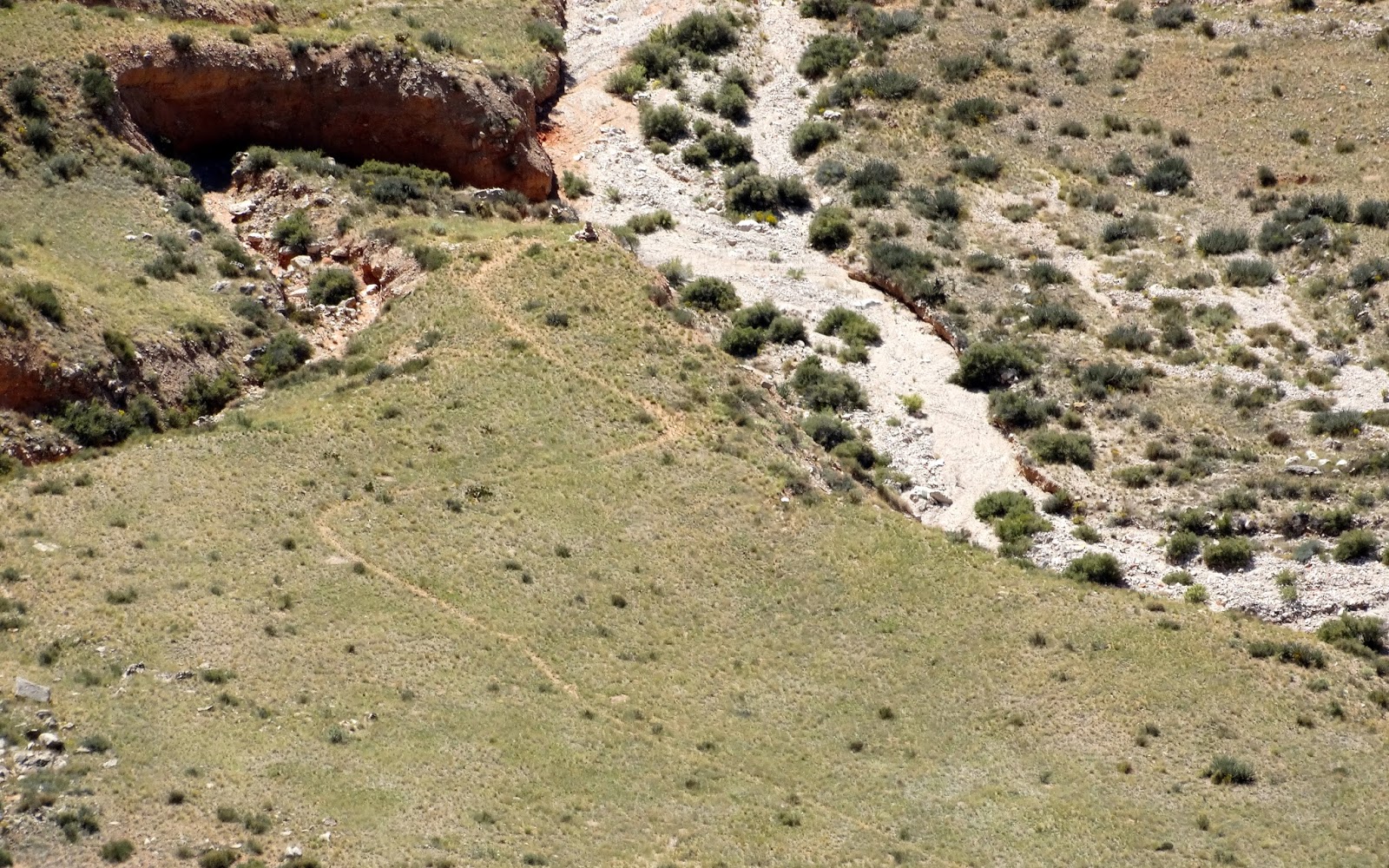
Is that flood debris deposited on top of the boulder beside the cairn?
Willow Spring.
Our maps showed a pack trail heading North from Willow Spring and climbing up a small side canyon about a mile away. We decided to investigate. The photo above shows one of the large cairns marking the seldom used trail.
(photo credit: Jo Ann Ward)
Some canine first aid was in order after I noticed Bosco licking his left front paw. Then it was time to strap on his boots.
Another cairn on the left as Jo Ann hiked alongside red-rock.
(photo credit: Jo Ann Ward)
Bosco styling with boots on his front paws.
We followed the faint trail up into the canyon until I suggested stopping and finding the upper trail-head during our drive back to pavement the next day. "Besides," I said, "we still have a canyon to hike."
We hiked SE cross-country toward the Hacks Canyon Trail and reached it in about 40 minutes.
Jo Ann called this location a tumbleweed graveyard.
Large cairns in these parts.
A few hundred yards after this unique little cairn we stopped at our "farthest on" about three miles from Kanab Creek.
Jo Ann and Bosco both relaxed with their boots and packs off while we ate lunch.
It was time to head back to camp. Our original goal when we planned this trip in June was to backpack down to Kanab Creek and up to the Esplanade. That plan had to be modified because I damaged my knee at the end of summer and it had not recovered enough to carry a backpack on a multi-day trip. I am sure that Jo Ann could have hiked farther but six miles was my self imposed limit and we had exceeded that by a couple of miles.
We ate dinner as the sun set. The knee was only a slightly sore after the hike. Later we listened to coyotes and watched for shooting stars until Jo Ann reached her meteor goal.
The moon setting shortly after the sun.
An hour before sunrise. The overnight low was 38 degrees.
Soon it was time to pack up camp and prepare to leave this beautiful canyon.
Driving up canyon.
The higher reaches of the canyon were still in shadows.
Back on Antelope Valley Road.
A few miles later we turned SE on a road searching for the upper trail-head of the pack trail we followed the day before.
A view of the Esplanade from above Hacks Canyon near Sunshine Point. Jumpup Point in center of photo.
Jan and I were there in July.
We found the upper trail-head for the pack trail and were both surprised that it was signed.
The upper trail appeared to have the same amount of use as the trail down below. Very little.
Jo Ann scouted ahead until the risk exceeded the reward. We surmised that this trail was created for the original Hack Canyon Copper Mine and fell into disuse when the road was constructed.
Willow Springs marked on the far side of Hacks Canyon.
Down below was the trail we were on the previous day.
Our road's end campsite of the previous two day inside black oval.
At the top of the trail we found an old corral.
Bosco was first to the truck and lounging in the shade when we reached it.
We stopped to look at a map near this small herd. Jo Ann noticed that there was a slow motion stampede developing as the cattle mistook us for a rancher with something tasty to eat. Bosco was very disappointed that I would not let him out of the truck to play. (Once again his cattle-dog gene cravings would be denied. He doesn't know that this coming spring he will get to romp with cattle and sheep when we visit my cousin's farm.)
Headed for pavement.
Found pavement at AZ 389.
The navigation system reported that we would be home in seven hours.